
Early Warning System (EWS) for Extreme Weather and Hazard Mitigation
The Early Warning System (EWS) integrates advanced weather radar precipitation data with a dynamic flood modeling system to generate high-resolution, real-time warning products. This system combines weather radar information with rain gauge stations to produce the most accurate precipitation estimates, which are then incorporated into the high-resolution WRF-Hydro flood prediction model.
Enhanced Capabilities for Comprehensive Hazard Forecasting:
- Nowcasting short-term precipitation forecasts up to 3 hours in advance.
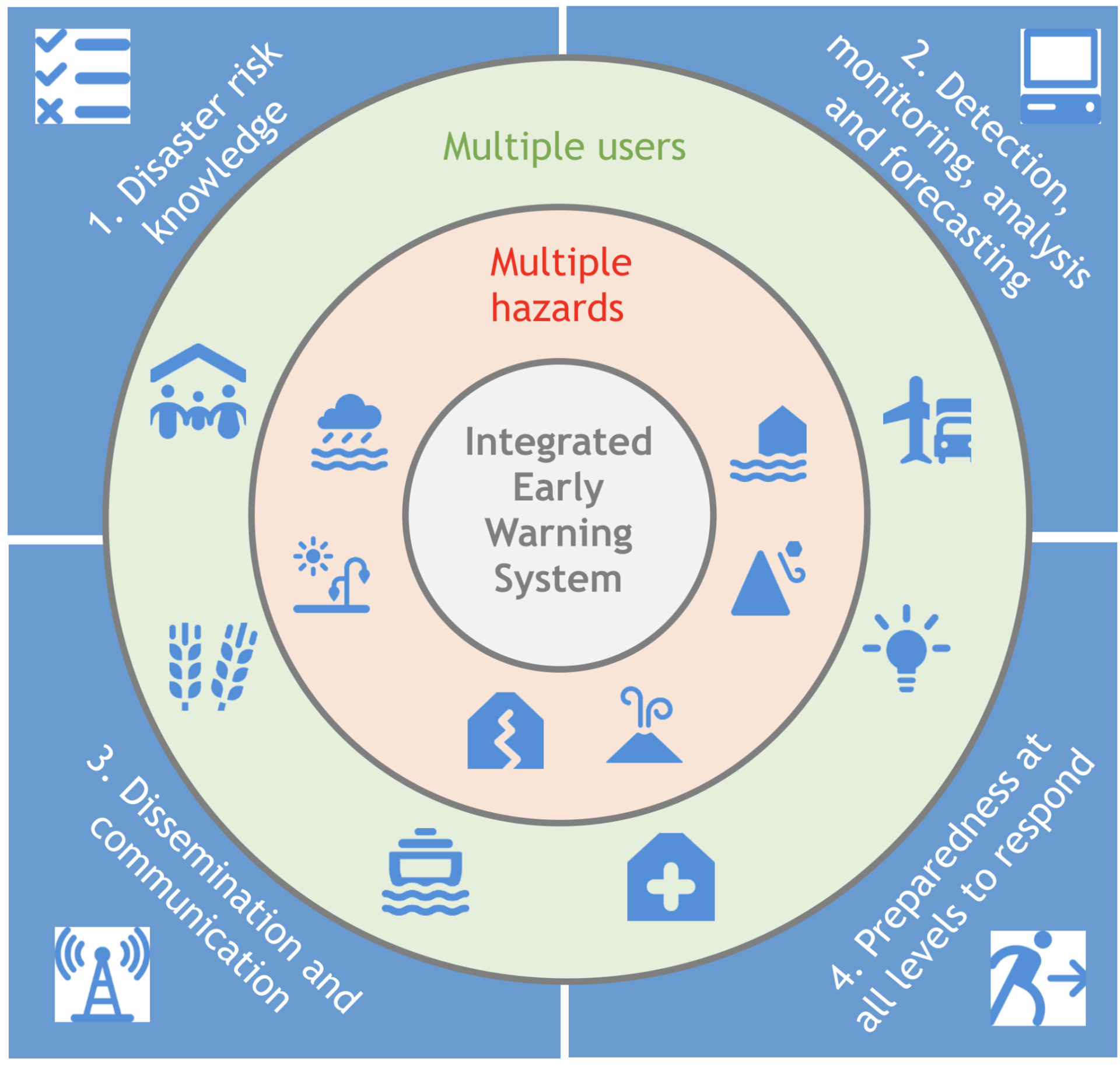
- Multi-hazard warnings for wind, hail, precipitation accumulation, flooding, flash floods, and mudslides to improve disaster preparedness.
- Radar-based flood warnings tailored to both exceedance precipitation levels and aggregated precipitation basins, helping anticipate localized flash floods and urban flooding.
- Integrated real-time monitoring for atmospheric and hydrologic conditions, enhancing situational awareness.
- Data-driven mitigation strategies, linking forecasts with sensitive infrastructure, existing flood maps, and protection protocols to support emergency planning.
- Automated dissemination tools with email and SMS alerts, ensuring timely delivery of warnings to key stakeholders.
- Web-based platform for comprehensive data acquisition, product processing, warning generation, and monitoring.
This system is designed for deployment by weather services, emergency response teams, and government agencies, providing early detection and mitigation strategies for severe weather events.